EXPERIENCES / KIMBERLEY
Mitchell Plateau No. 2
Overview
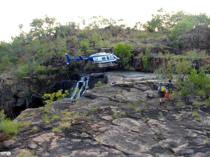
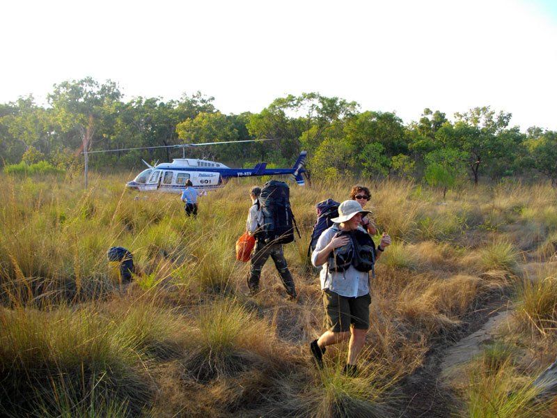
- Fly in, fly out with a helicopter ride between sections.
- Waterfalls, waterfalls and more waterfalls, some of which people who are not on overnight walks will never see.
- An incredible wealth of Aboriginal rock art.
- Two separate walks, either of which can be done on its own.
No one else will show you as much of the area as we will on this trip.
KIMBERLEY
July 19 - August 2 2026
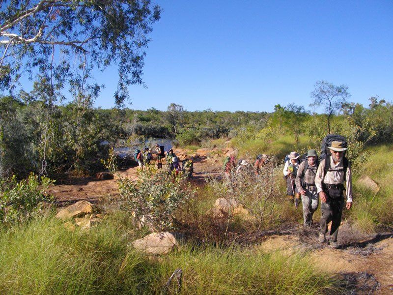
The trip begins with a flight from Kununurra to the Mitchell Plateau airstrip. From there we are transported to the start of the walk.
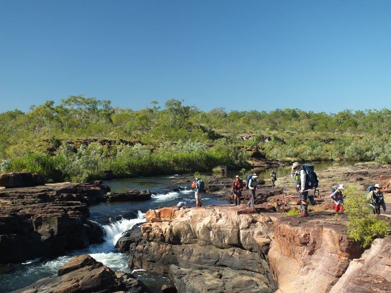
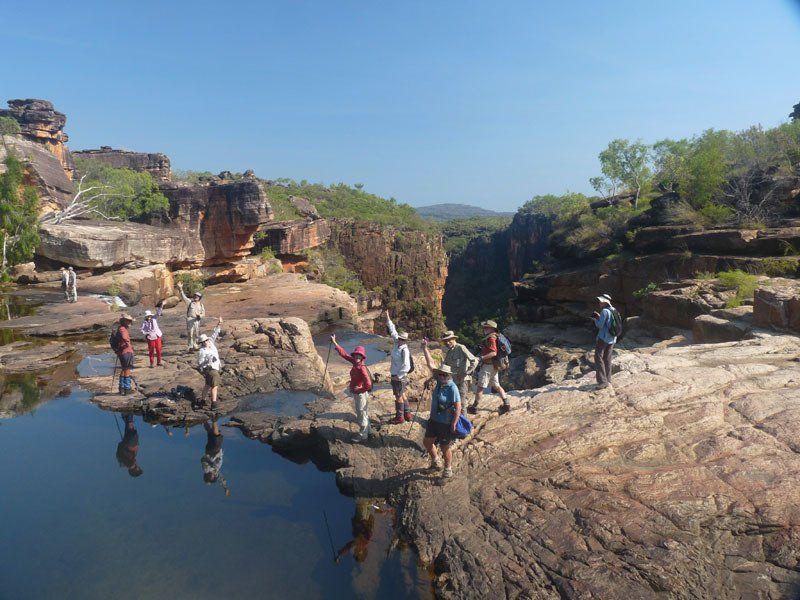
We will spend the rest of the week exploring the Mitchell River below the main falls and the Western Gorge, a shadier and narrower gorge than anything else we encounter on the trip.
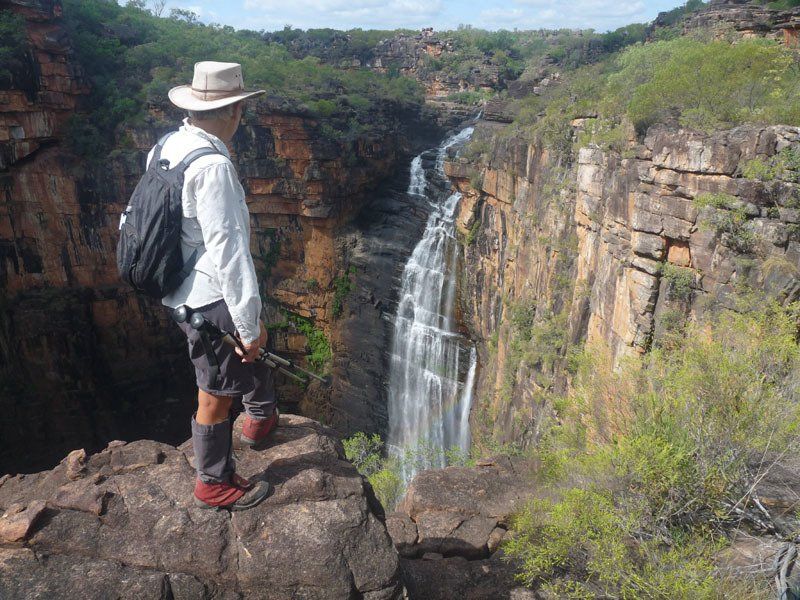
The lower falls on the Mitchell is little known but just as spectacular as the main Mitchell Falls. We will probably spend two nights there, exploring the nearby Aboriginal art sites and doing a day walk through the lower gorge to the tidal rapids formed where a rock bar blocks the river.
At very low tides, you could walk across with dry feet. When the tide changes, the water swirls back up the river with a rush and the bar disappears.
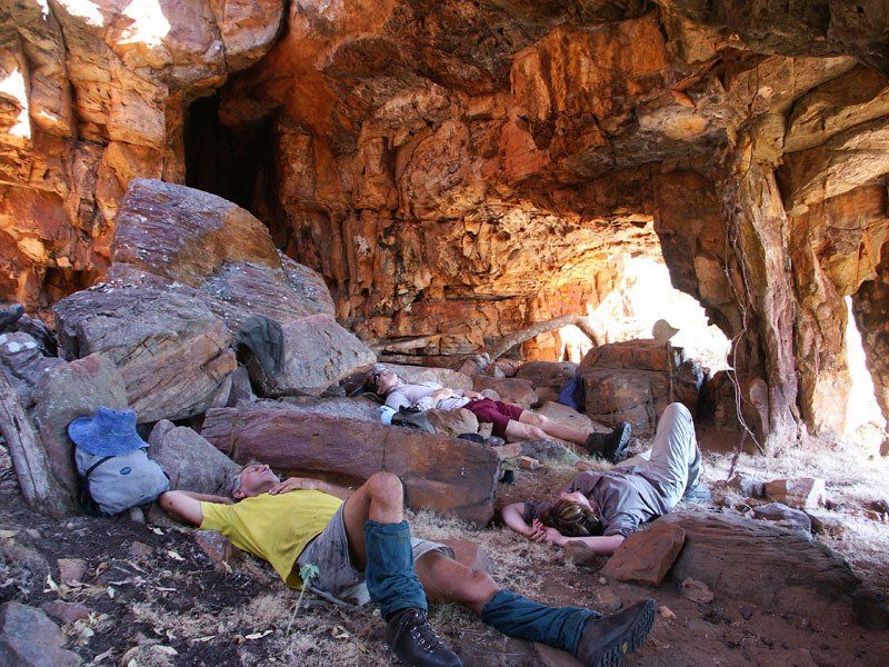
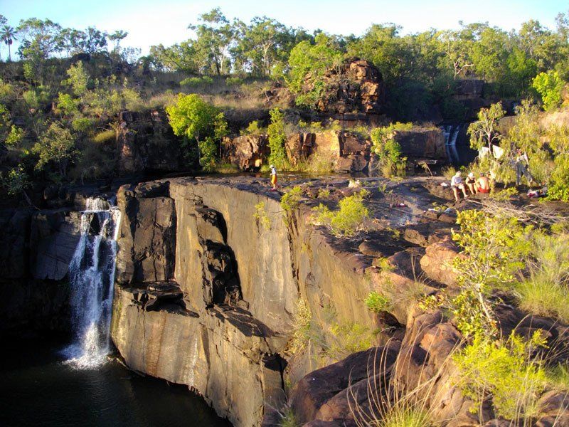
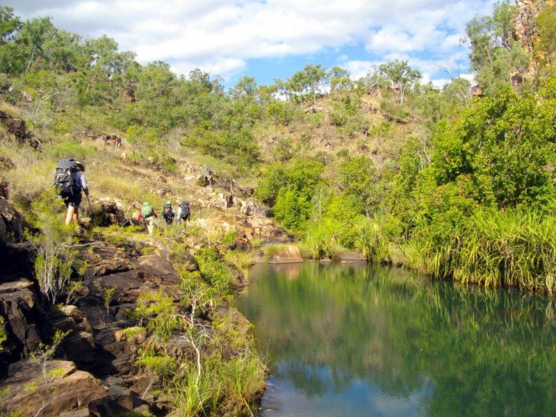
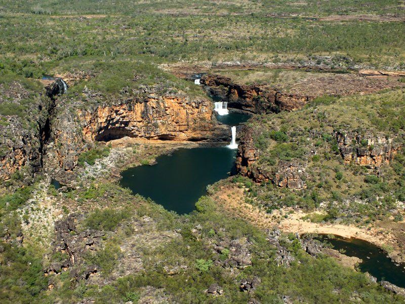
At the end of the first week, a helicopter brings in our food drop and takes us to Donkins Creek. We set up a base camp near our landing point and spend the rest of the day exploring the nearby rock shelters and the area above Donkins Falls which plunges over 100 metres into a narrow gorge. The following day we do a long loop walk down into the gorge below the falls and back.
On the third day, we break camp and head upstream through a small gorge.
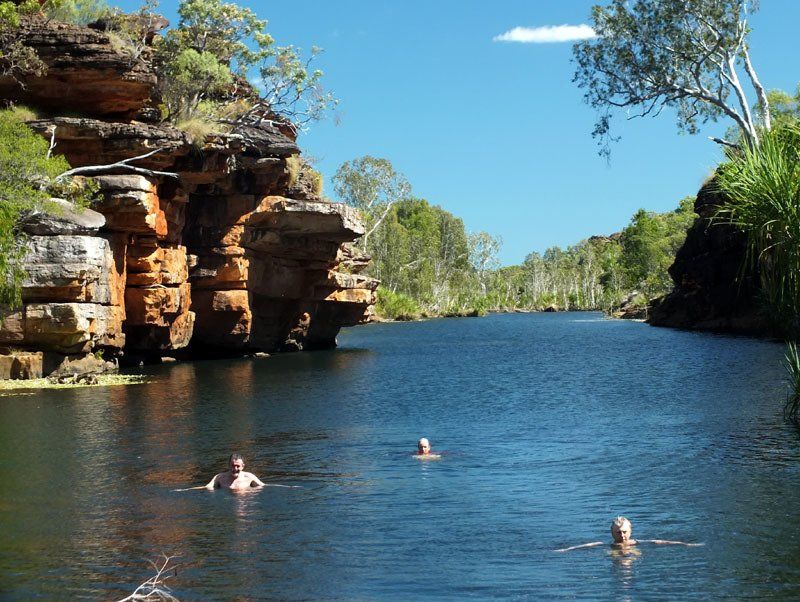
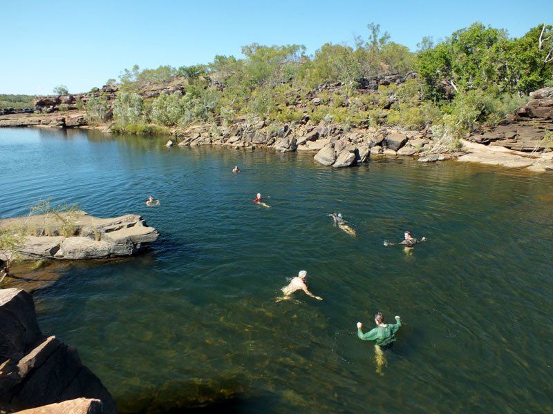
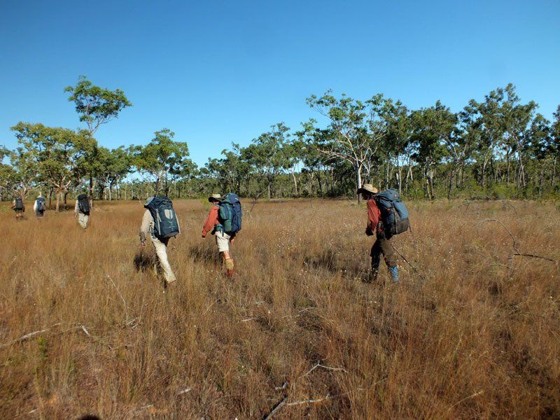
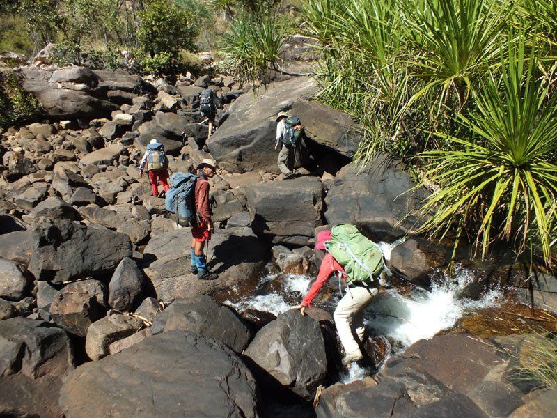
The walking here is slow with a number of small climbs and a substantial amount of rock-hopping. It is so rugged that four km often takes a full day. The gorge is, however, quite pretty and there are a number of pools where we can stop for a swim and/or to look at whatever birds may be in the area.
Another day's walk brings us to a wonderful campsite in a small gorge. The following day we break out of the rugged country and cross back to the Mitchell River watershed, stopping to explore some of the small creeks where we saw the most wildlife on earlier trips.
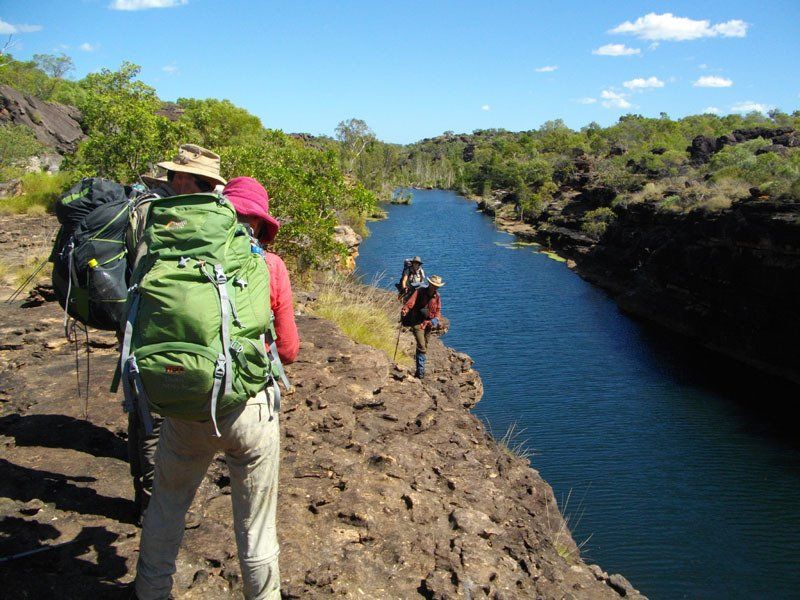
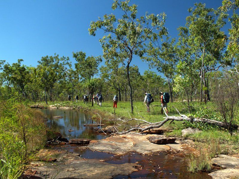
Eventually, we reach the Mitchell River itself.
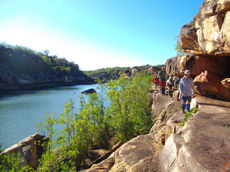
We spend the next couple of days working our way along the Mitchell River to the main Mitchell Falls. Depending on when it was last burnt, some of the terrain along this section can be as slow as anything we encounter in the two weeks. There are numerous Aboriginal art sites. Which ones we visit will depend on the speed and interest of the group. As always, there are many inviting pools so there are ample opportunities for swim stops.
At the main falls, we join the marked trail and walk out to the Mitchell Falls car park, stopping to visit Big Merten and Little Merten Falls along the way. There we meet the transport that will take us to the airstrip from which we fly back to Kununurra.
Details
DATES
19 July - 2 August
PRICES
Full price: A$7995
Section 1: A$5895
Section 2: A$5995
*discounts available
GROUP SIZE
4 - 12 guests
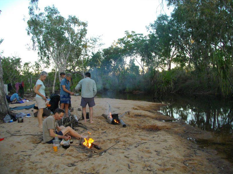
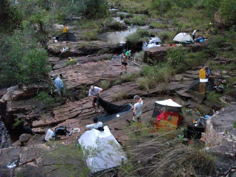
CAMP SITE
Mix of sand and rock ledges. Most sites are good to excellent, You are unlikely to see anyone else anywhere along the route.
ART
This is one of the richest areas for Aboriginal art in the Kimberley. We visit many sites in a number of different styles.
SWIMMING
Good pools at every campsite. Many opportunities for swimming each day.
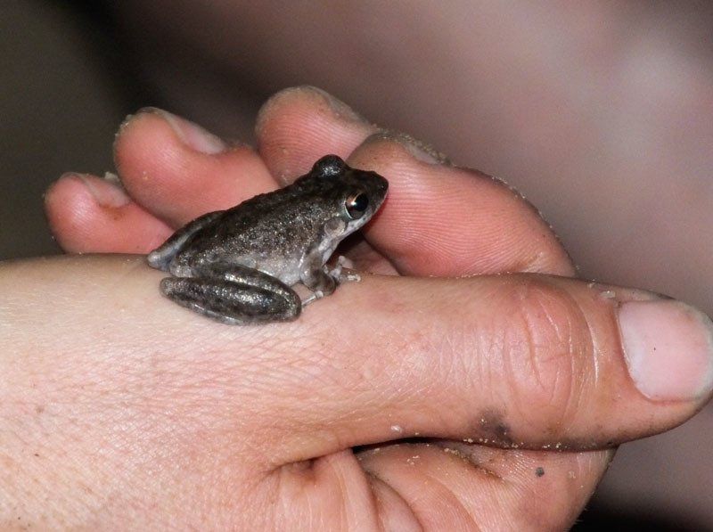
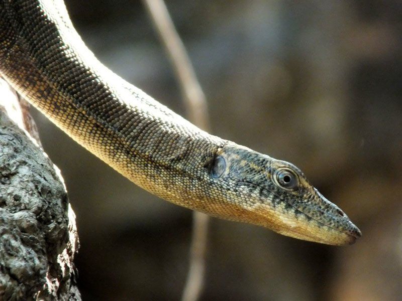
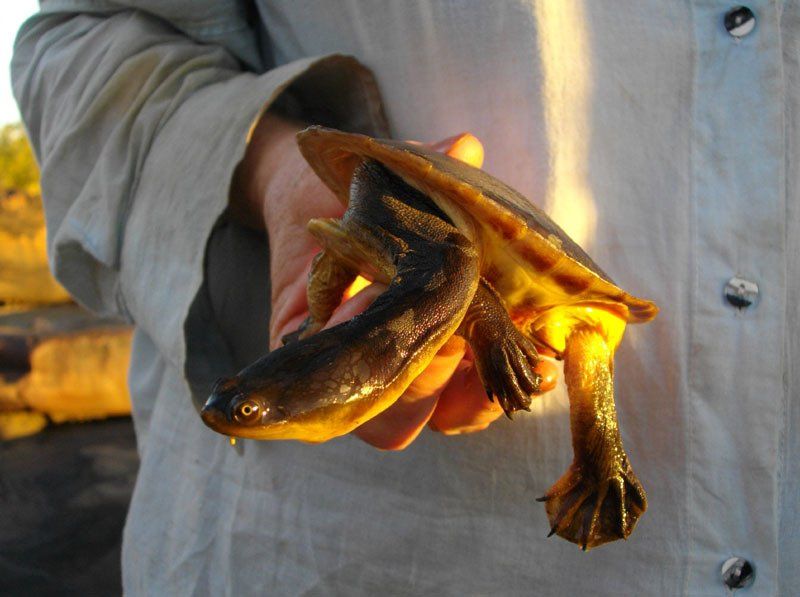
WILDLIFE
You see a variety of birds along the river. Click here to see a list of all the species we saw on one trip.
CLIMATE
Average daytime max 30ºC, average nighttime min 10-12ºC. It has been known to drop to near freezing. Generally low humidity. Rain very unlikely.
COOKING
We should be able to have campfires every night.
WALK RATING - MEDIUM TO HARD
Terrain
Although most of the walking is relatively easy, the trip does include substantial amounts of rock hopping as well as some steep climbs. Some short sections will be quite rugged.
There is more of the easy walking than of the difficult, but you must be prepared for it all. People without bushwalking experience are likely to find it more difficult than those who have had such experience.
Vegetation
Distance
4-6 hours per day
Pack Weight
You need to carry 7 days of food.
Itinerary
*This itinerary is subject to change

View more