EXPERIENCES / KAKADU
West Macdonnell Ranges
Overview
More than the Larapinta Trail.
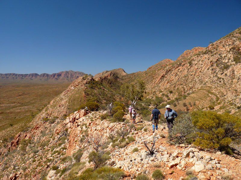
Our West Macdonnells trips are partly on and partly off the Larapinta Trail so that we can show you the best of the places we've found in 30 years of walking in the ranges. It's divided into two sections, either of which can be done on its own.
Section 1: Larapinta East, is entirely on the Larapinta, beginning at Standley Chasm and finishing at Ellery Creek Big Hole.
Section 2: Ormiston Plus, is entirely off
the trail as we believe that the trail misses the most spectacular parts of the area near Ormiston.
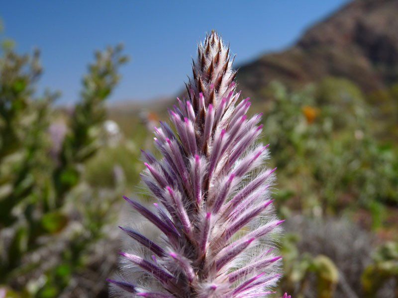
Special note. Exceptional rain in February 2026 will make this an especially good year to visit.
RED CENTRE
June 7-20 2026
Section 1 : Larapinta East
This section is entirely on the Larapinat Trail.
We begin with a short drive from Alice Springs to Standley Chasm where, if we’re early enough we may find lots of wallabies grazing around the camping area. They're not tame, but bold enough for you to get a good photo.
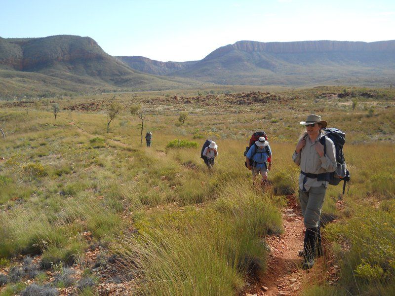
At Standley, we join the Larapinta Trail and head west toward a place the locals call Birthday Waterhole. It is a fairly long walk so we may camp along the way. One of the highlights – and the high point – on this section is the view from the top of Brinkley Bluff.
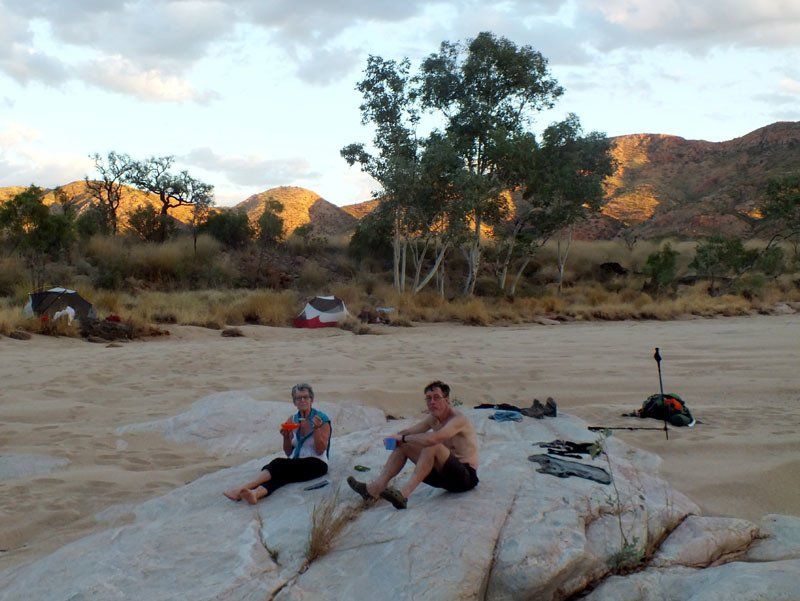
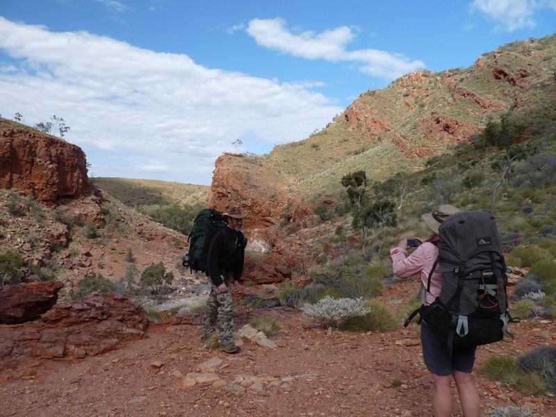
We then walk to and through Hugh Gorge with its huge cliffs, pretty pools, and pleasant camp sites.
Although well known to local bushwalkers, Hugh Gorge remains almost untouched by the masses of tourists that visit the more accessible gorges in the Macdonnells.
From the bottom of Hugh Gorge, it’s a two day walk to Ellery Creek Big Hole where we meet the vehicle bringing in our food drop plus anyone joining us for section two.
Those doing only section one will be driven back to Alice Springs after the others are dropped off.
Section 2: Ormiston Plus
This section is entirely off the trail.
This section is entirely off the trail.
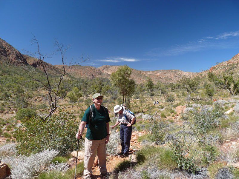
From Ellery Creek we are to Ormiston gorge where we begin following the Ormiston Pound walk.
Once inside the pound, we leave the marked trail and begin our exploration of one of the nicest parts of the range.
We trek east toward Mt Giles where we camp near a small spring close to its base ranges.
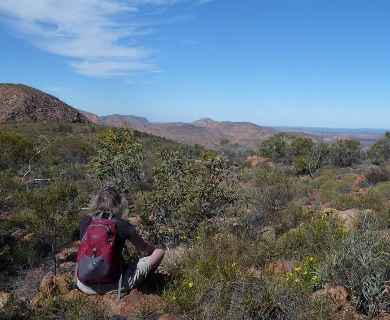
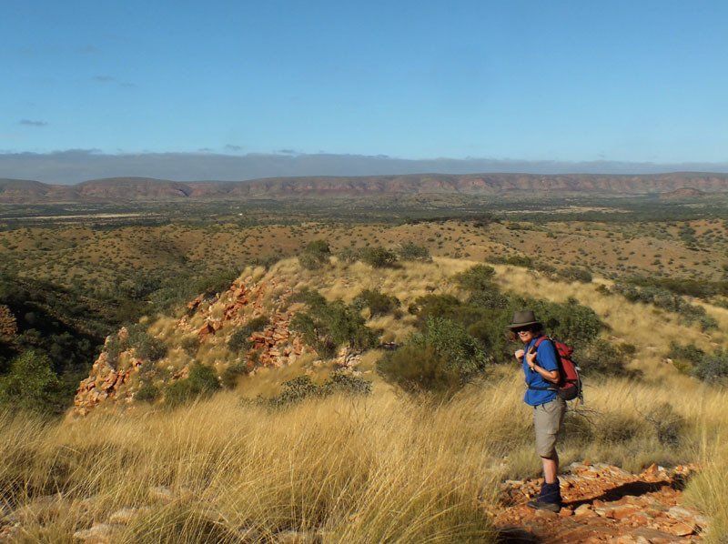
If the weather permits, a day walk without full packs gets us to the top of Giles for what may be the best view in the ranges.
More ambitious groups might choose to carry packs to the top and coutour around the ridge toward Bowmans Gap.
Or we might choose to do a day walk to a hidden spring — one of the wonders of the Centre. A small, near-permanent creek flows about a kilometre through a small gorge lined with ferns and sundews.
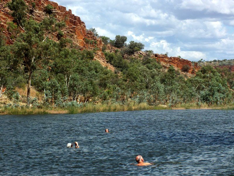
Unless we have carried packs to the top, a relatively flat route through the valley takes us to Bowmans Gap. Here, if the weather is warm, we can enjoy a swim in one of the largest and warmest semi-permanent waterholes in the Macdonnells. Hidden away nearby is a deep gorge cutting through the range, a perfect spot for a day walk.
From Bowmans, it is a relatively short walk to Ormiston Gorge. Whether we walk, float packs a short distance or climb around the gorge will depend on the water levels at the time.
We meet the vehicle that will take us back to Alice Springs sometime in the afternoon, arriving back in town late afternoon or early evening.
Details
DATES
June 7-20
Section 1: June 7-13
Section 2: June 13-20
PRICES
Full price: A$5395
Section 1: $3295
Section 2: $3495
GROUP SIZE
4 - 12 guests
CAMP SITES
Mix of sand and rock ledges and Larapinta Trail campgrounds. Most sites are good to excellent. You are unlikely to see anyone else at some of the campsites.
ART
None
SWIMMING
Swimming is likely to be possible in a few places. The water is often ice cold at this time of year.
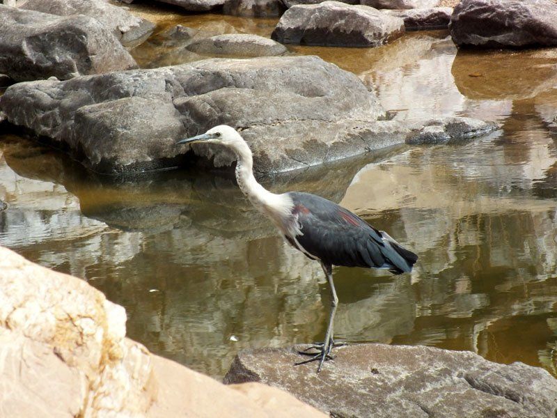
WILDLIFE
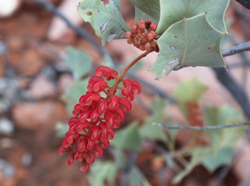
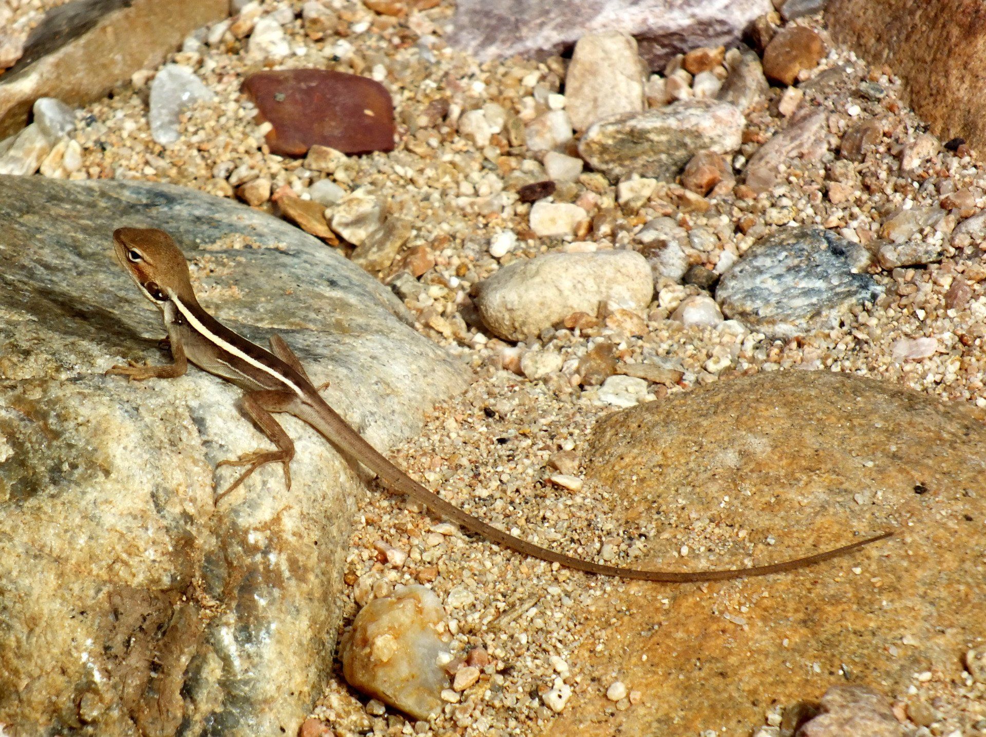
Birds are always present but you are unlikely to see many large animals. If you keep your eyes open, you have a good chance to see rock wallabies in some of the gorges.
CLIMATE
Average daytime max 20ºC, average nighttime min 4-5ºC. Night temperatures can drop below freezing. Generally low humidity. Rain very unlikely but if we do get rain, it will be cold. You must
be prepared.
COOKING
We will have camp fires wherever possible but will need to use stoves when on the Larapinta Trail.
WALK RATING - HARD
Terrain
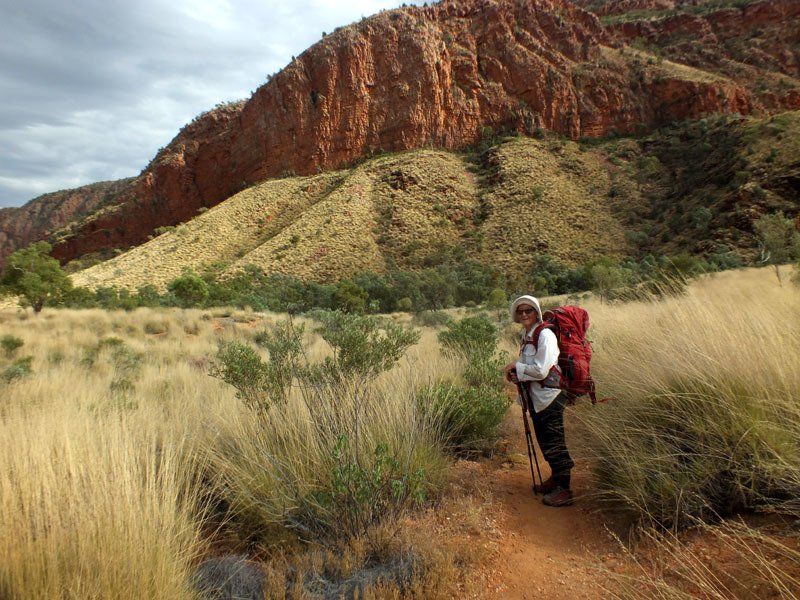
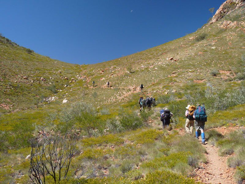
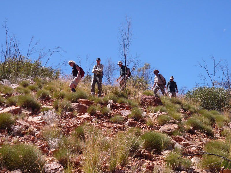
Even if we choose the easiest possible routes, the pack carrying portion of this trip will include several moderately steep climbs and some rock hopping. Day walks can be quite long and quite steep. One of the possible day walks includes a very steep climb where you may need to use your hands to help pull you up.
Vegetation
Varies from year to year depending on when last burnt. Vegetation normally presents very little problem but, in some areas, the spinifex may be dense enough to make heavy gaiters and long trousers essential.
Distance
Generally 4-6 hours, not including breaks. A few days on the day walks might be longer.
Pack Weight
You need to carry 7 days food. You need both a sleeping bag and a tent. You should also carry rain gear. We will carry a stove and fuel for campsites on the actual Larapinta Trail.
Itinerary
*This itinerary is subject to change


View more